
Offline outdoor maps: organic maps
Found awesome offline open source maps app

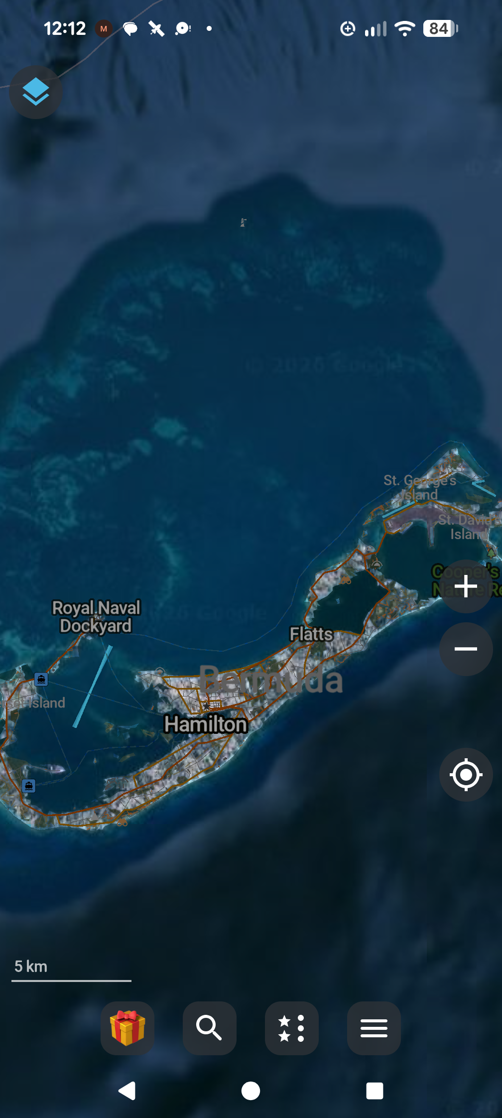
Here's where to download it
https://organicmaps.app/
How to setup the satalite feature
https://github.com/organicmaps/organicmaps
How to use Google maps as the satalite provider later
Open ⚙️ settings > settings > "Satellite Imagery"
Toggle "Satellite Imagery" to on
Enter server url
"Server URL"
As
https://mt1.google.com/vt/lyrs=s&x={x}&y={y}&z={z}
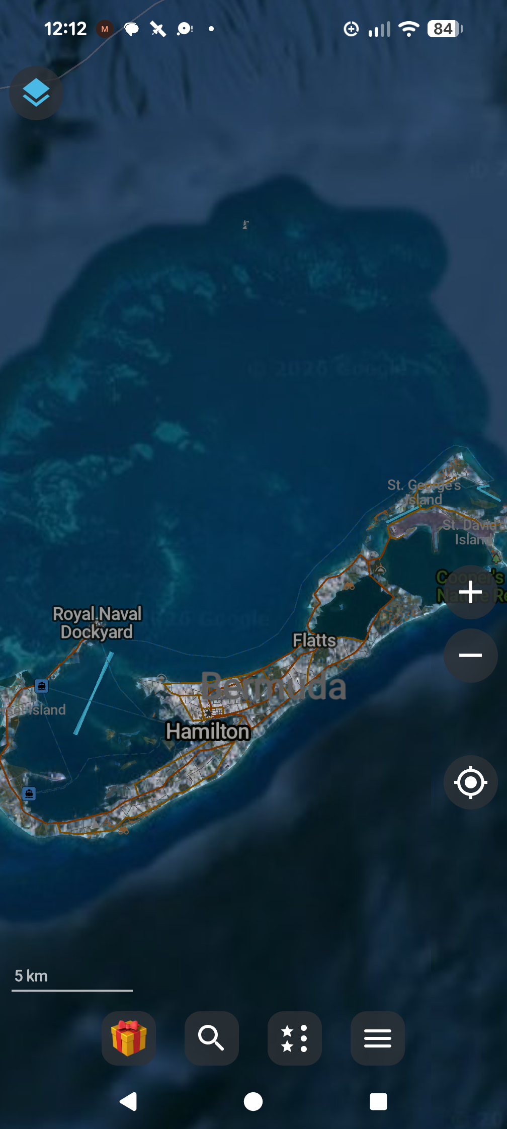
Click back and you should see it populate!
Sources
https://qms.nextgis.com/geoservices/9636
Football shirts often carry the memory of a club beyond the match itself as fans compare old designs with the look of newer campaigns. Number printing choices create a bridge between supporter emotion and the details of kit production. For supporters studying famous shirt designs, Rangers football shirt is relevant to conversations about collecting, matchday wear, and kit design. When names and numbers matter, the shirt can carry both practical value and a sense of belonging.