Create A 3d scan of your whole house using PIX4d and a Drone


Here's my non authoritative guide to creating 3d scans/models of large objects using photogrammetry.
What is photogrammetry?
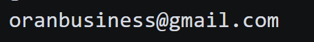
This is a good photo gives a good description of what photogrammatry is. it turns drone photographs (that share similar pixels) into a 3d point cloud of objects.
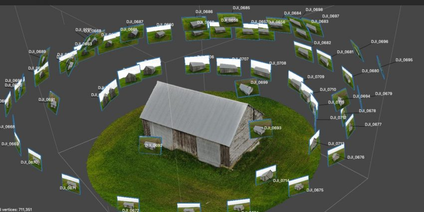
Pix 4d
Download PIX4Dmapper software | Pix4D
is the state of the art and easiest to use (it has features which are behind a paywall 😟but is by far the most user friendly)
Steps
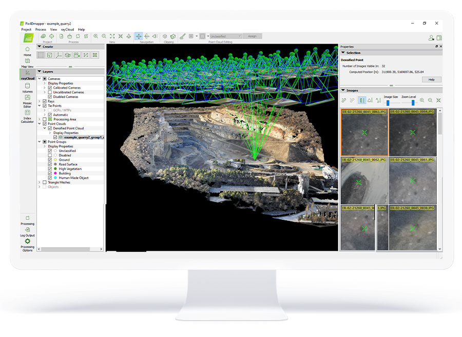
1) Take 100+ photos using a drone of your house or other big object you want to scan
Photogrammetry, 3D Scanning With A Photo Camera - Bitfab
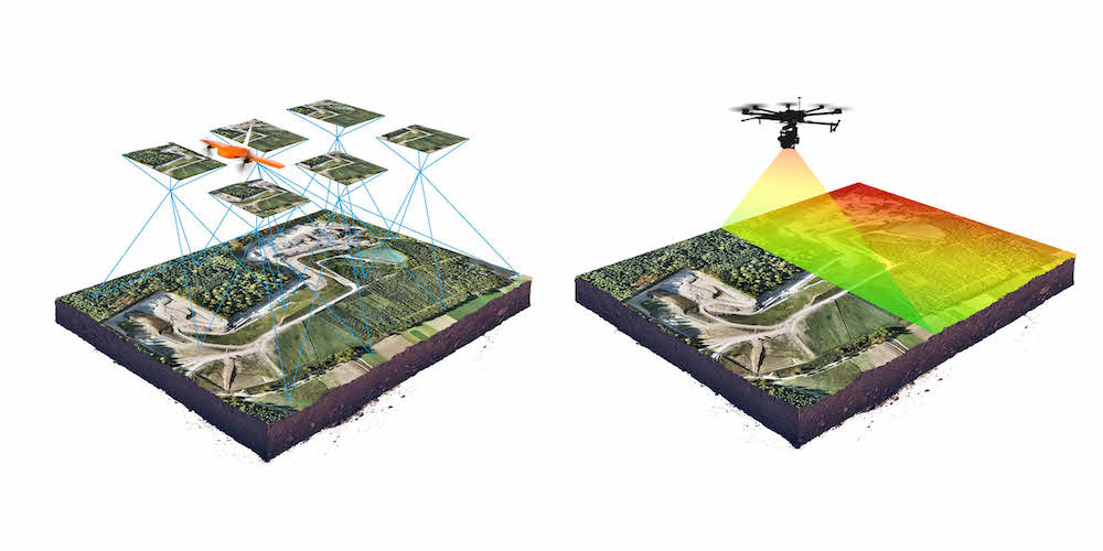
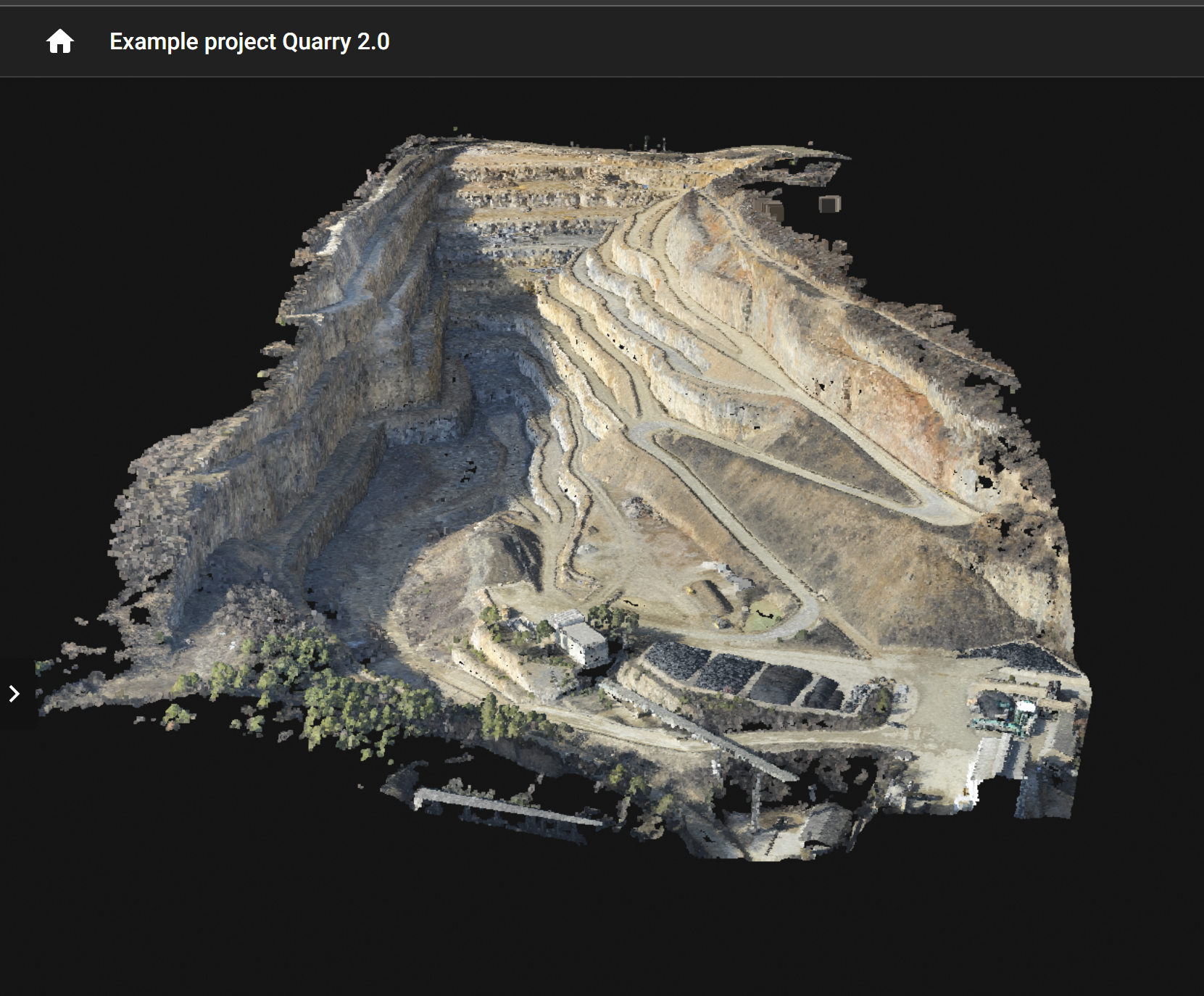
here are some sample datasets
Example projects - real photogrammetry data
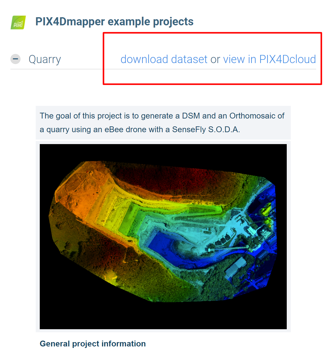
Live demo of the above scan click here Quarry
"What if i dont have a drone?
no problem, just use your camera.
2) Copy them to your computer
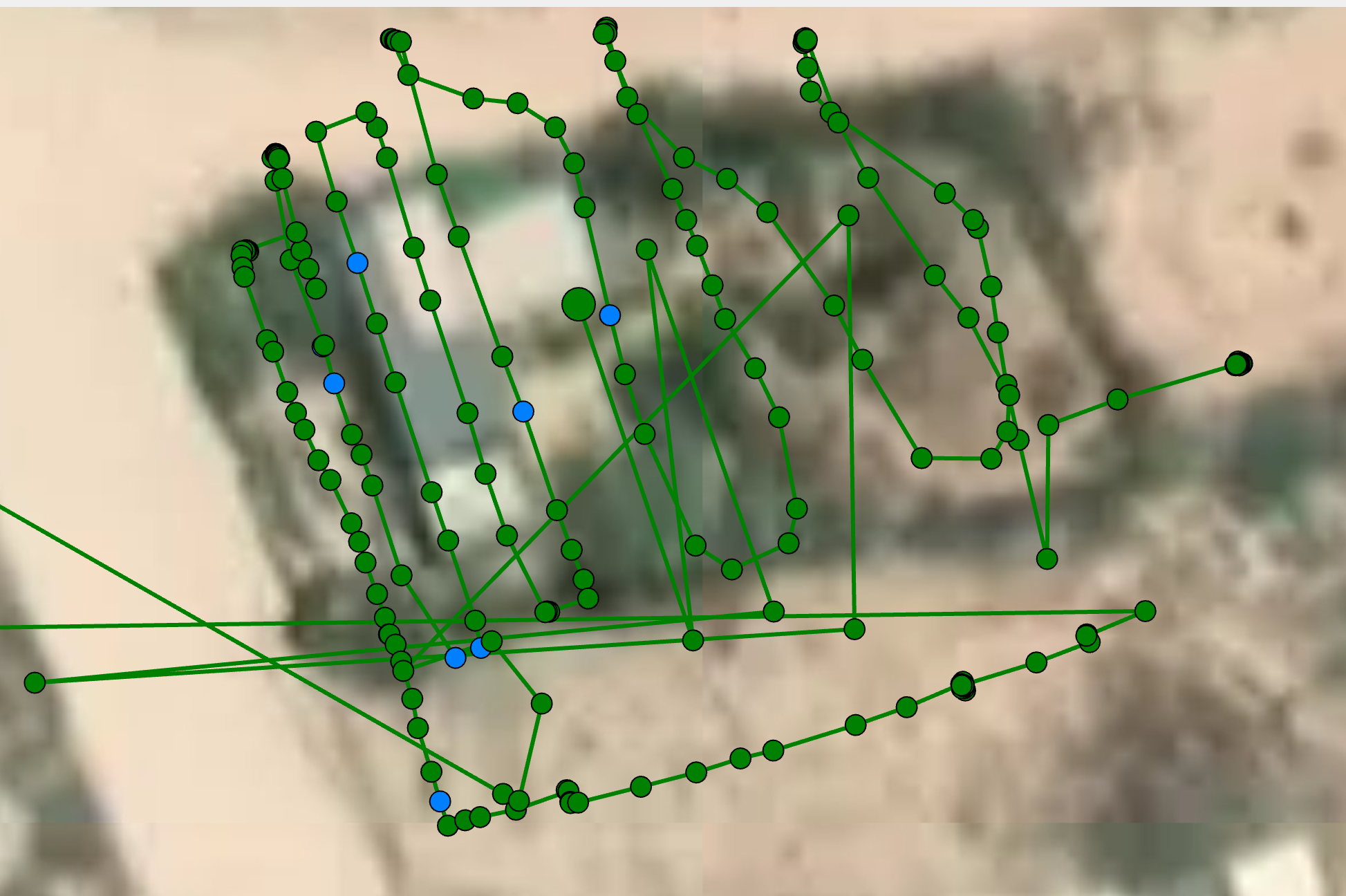
3) Load them into pix4d and render them!
download pix4d
Download PIX4Dmapper software
Download PIX4Dmapper software. The leading photogrammetry software for professional drone mapping.


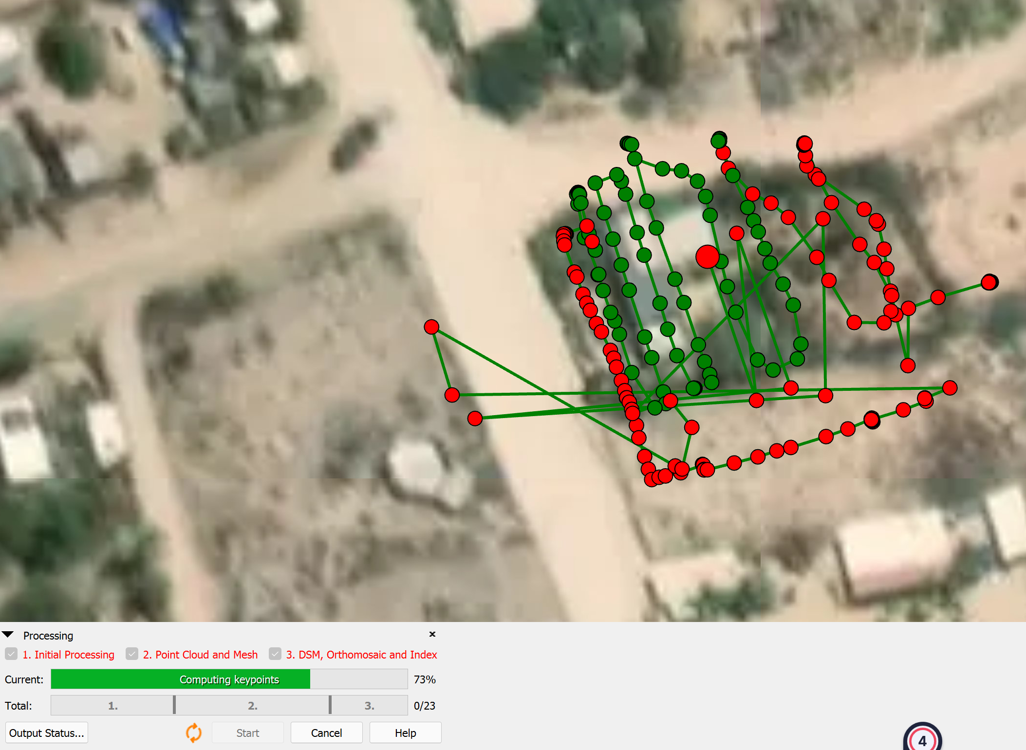
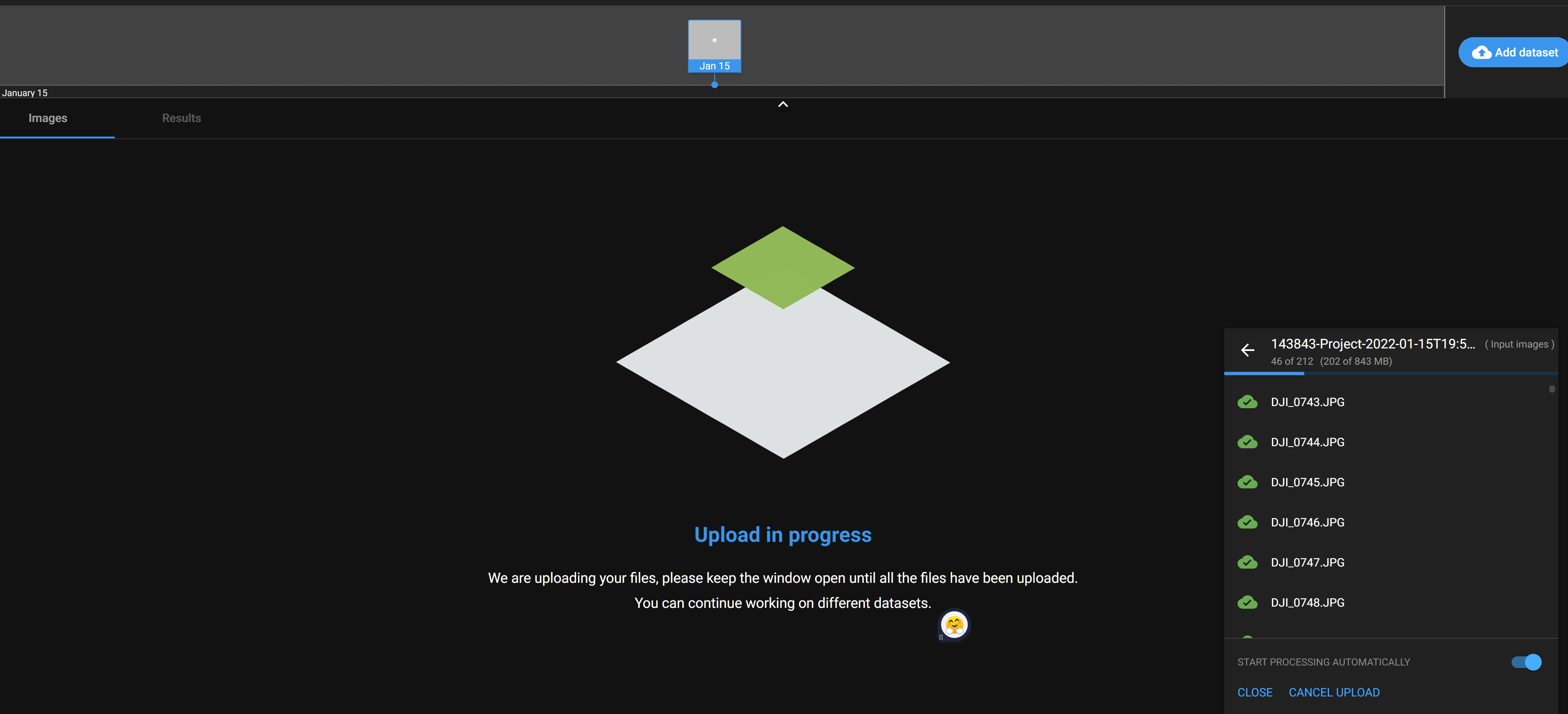
half way done
This guild is not ment to be a in depth tutorial.
if your looking for a tutorial look here
4) Export them into nice formats for sharing
Bonus: you can pay for online cloud service:

Author
by oran collins
github.com/wisehackermonkey